Bogota. December 29, 2015
Buena Noche… December 29 2015
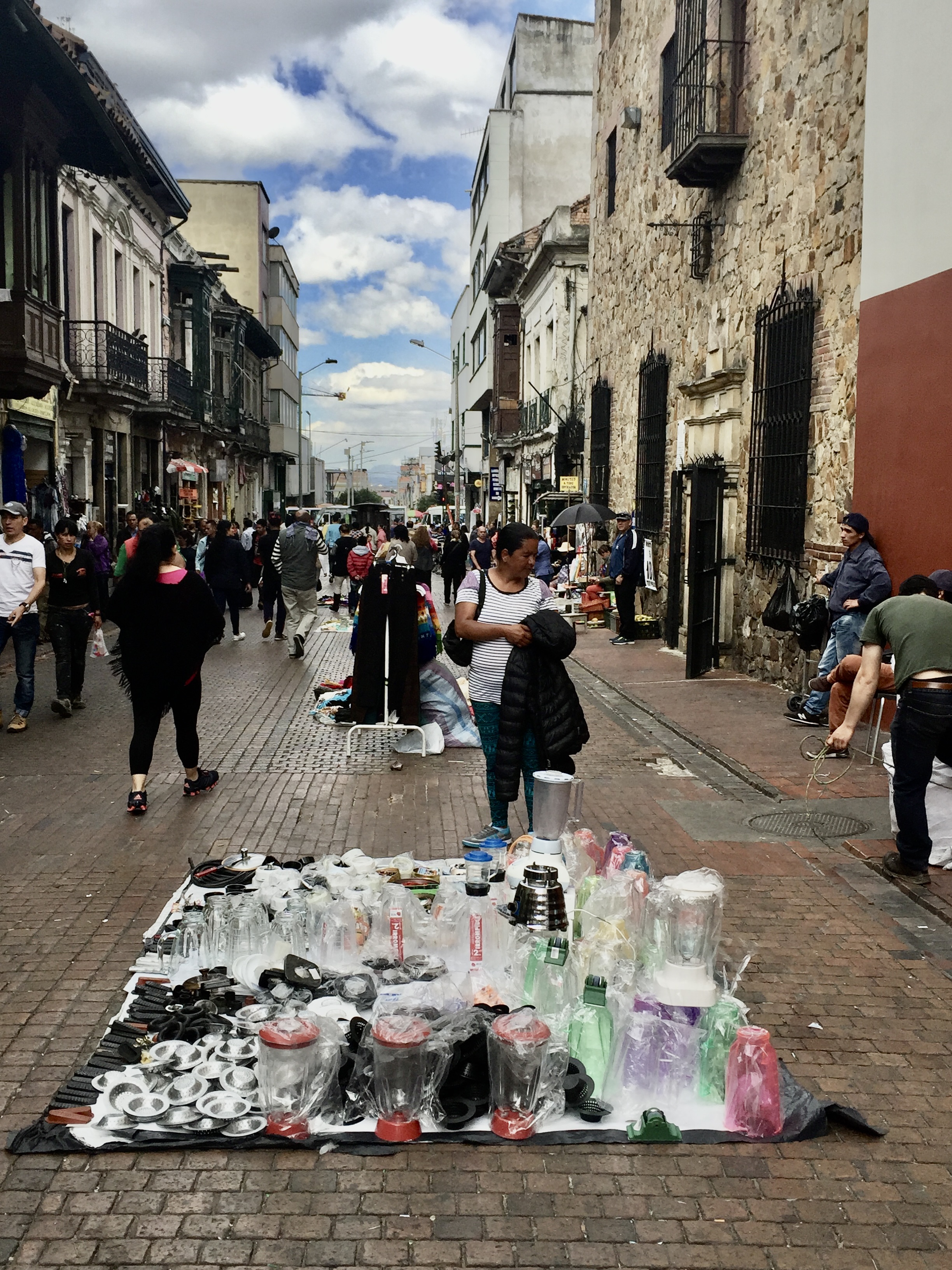
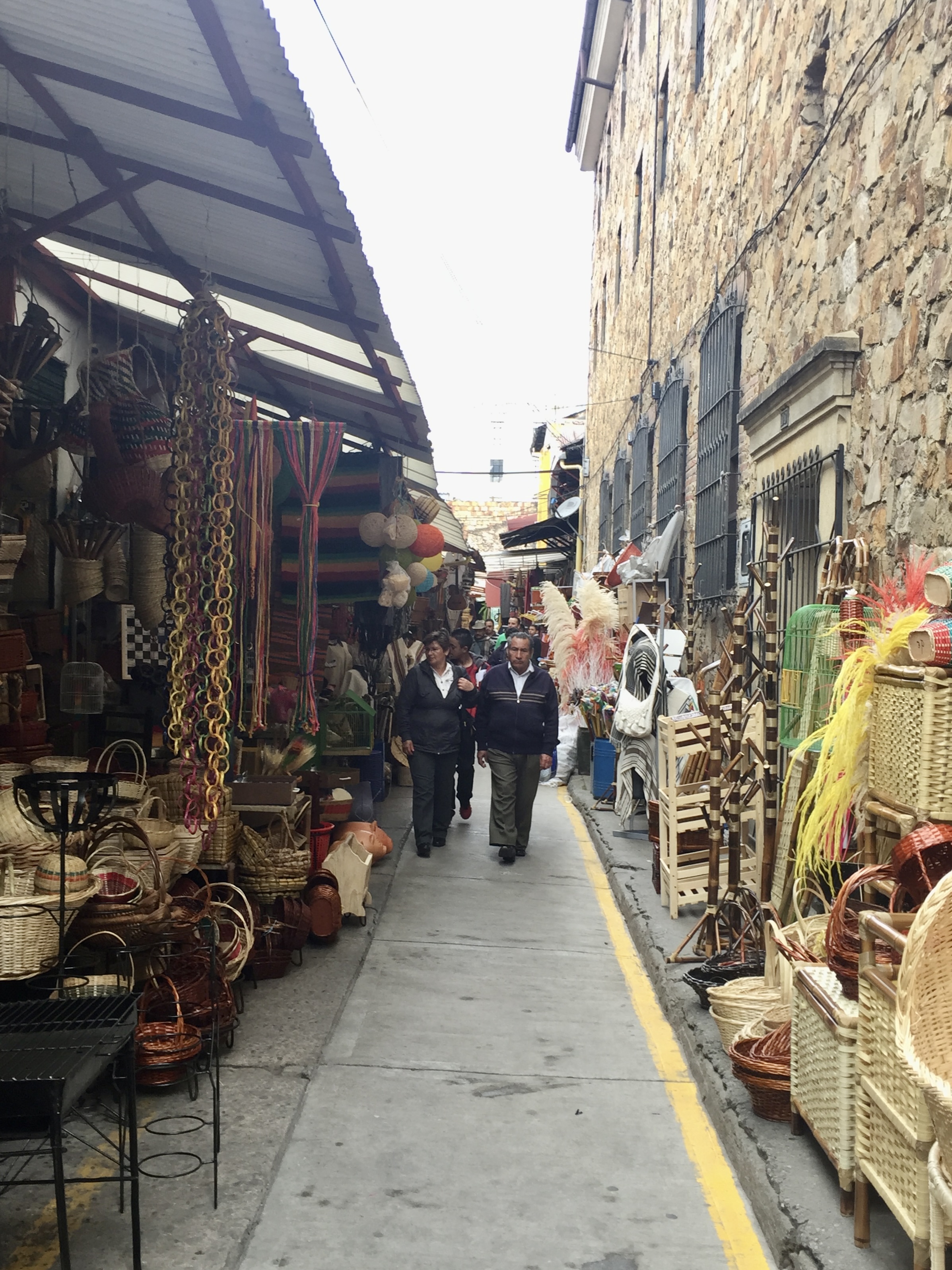
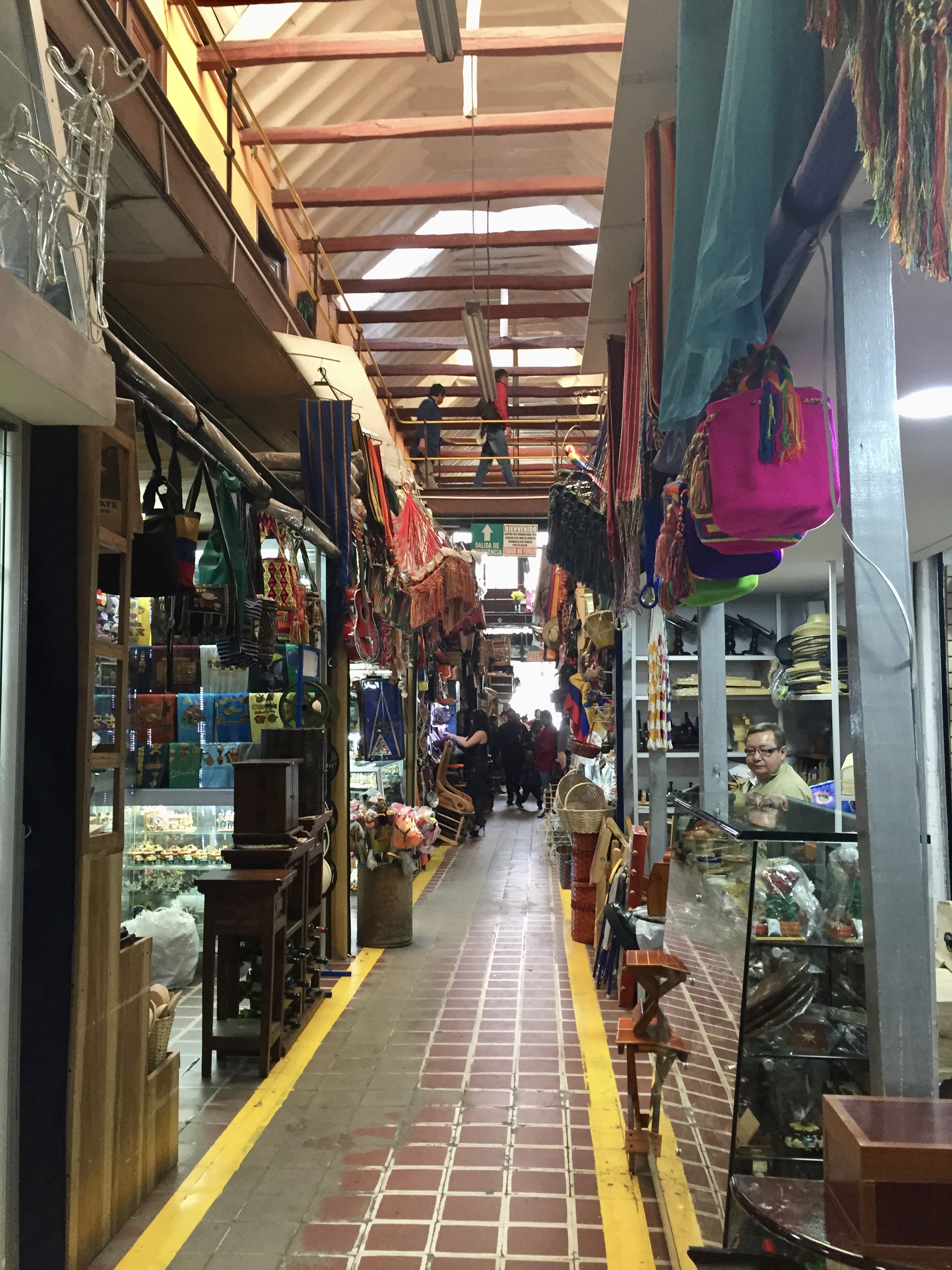
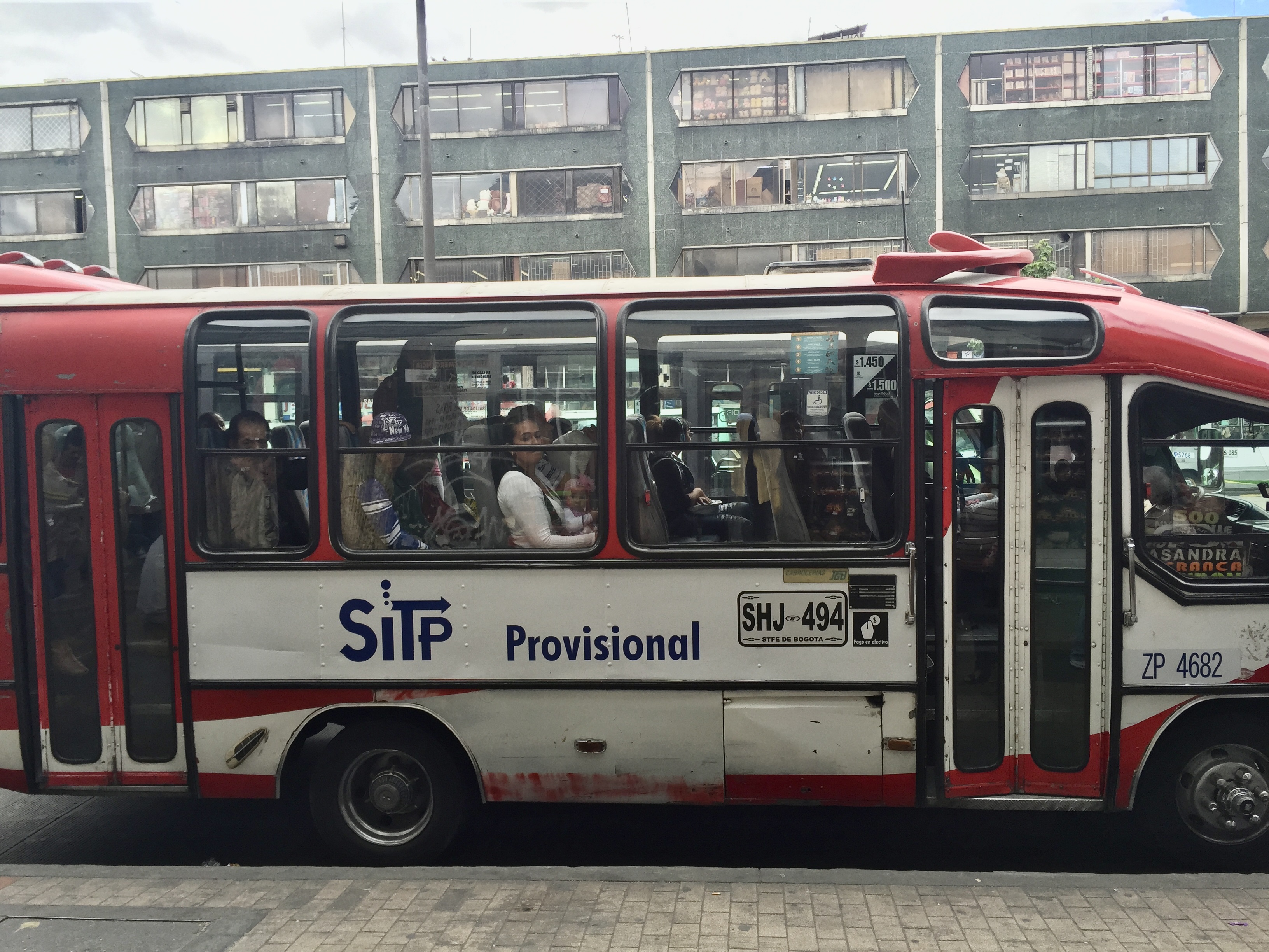
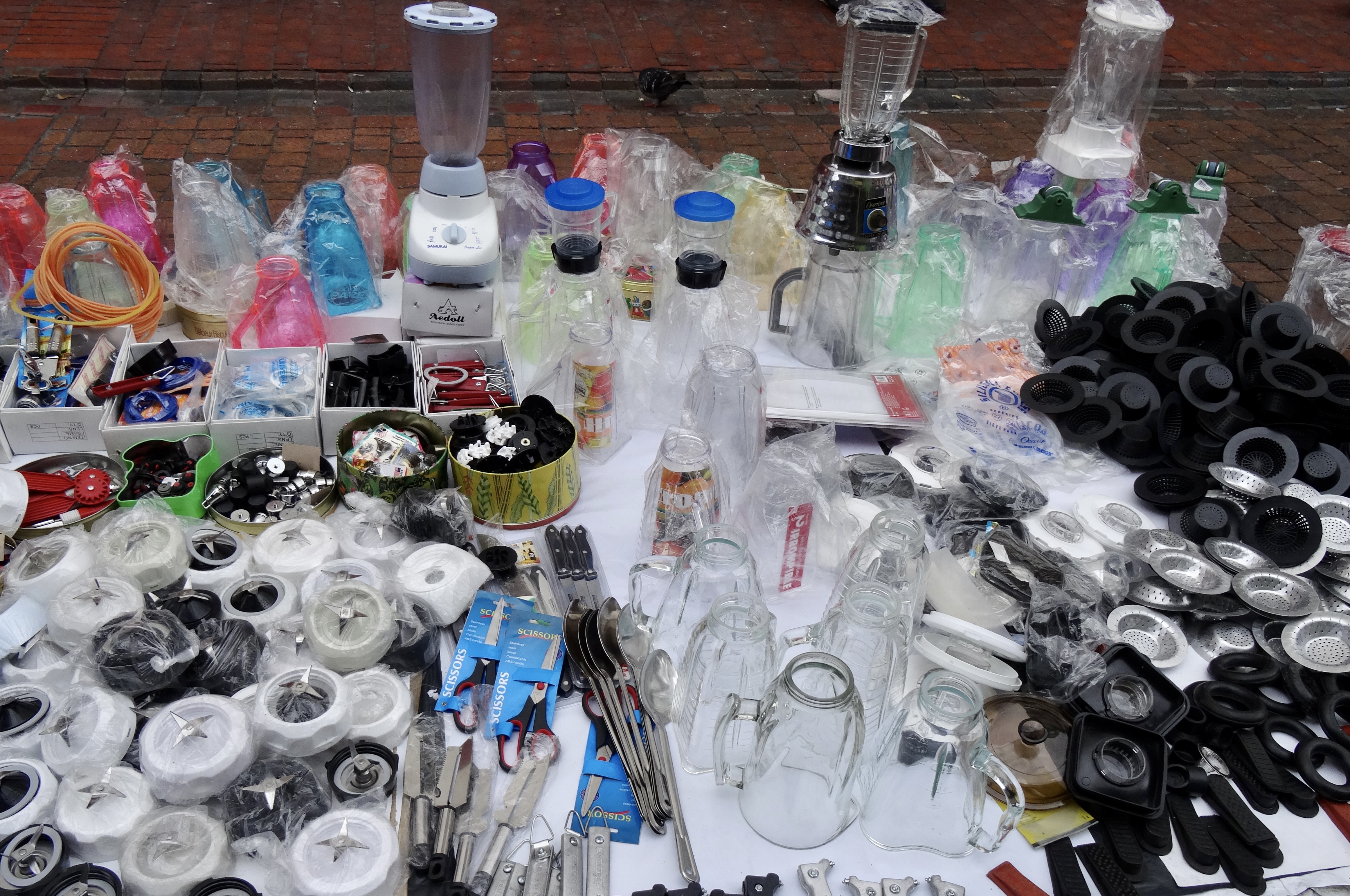
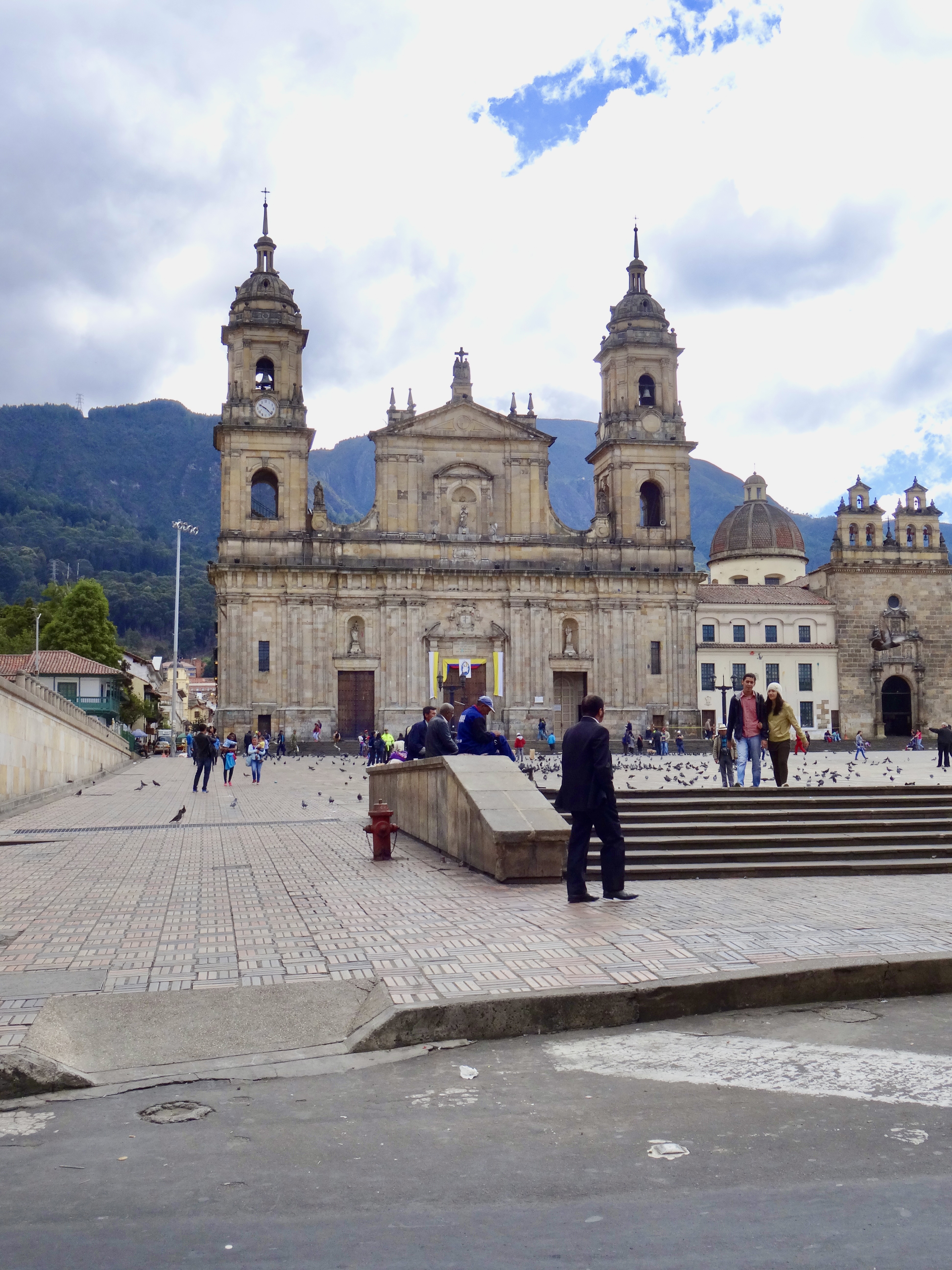
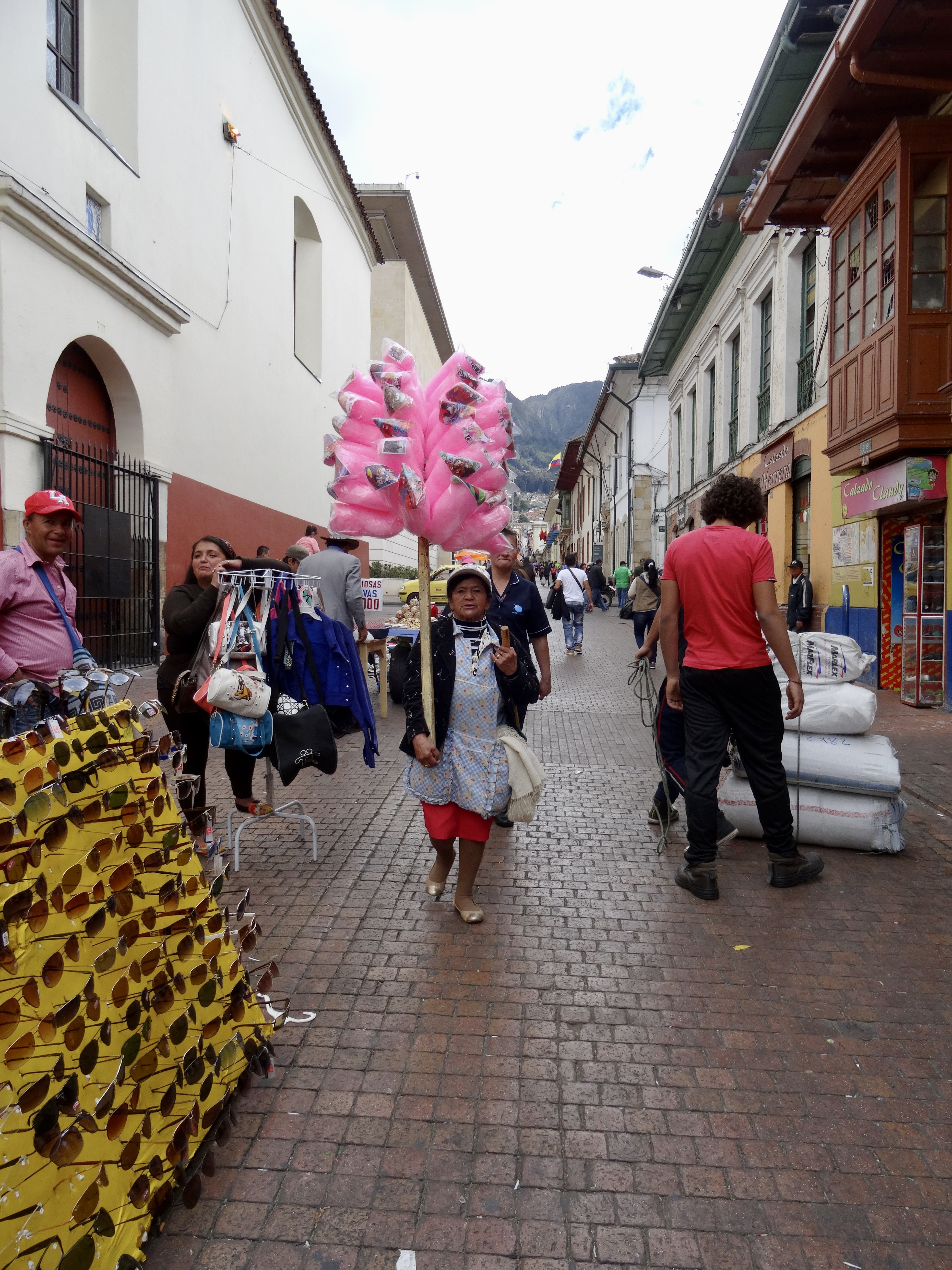
Set out this morning for the Pasaje Rivas — a 120-year old commercial passageway that was initially (or so we are told) a very fashionable shopping alley with styles coming from Paris. But farmers also used the area to peddle fruits and vegetables and meat, so I think the story goes that the high fashion and the smells of the food did not mix well…. Some time in the mid 1900s it became an alley devoted to arts and crafts.. It’s about a block or two from Plaza Bolivar and is sort of L-shaped.. so you can enter the passageway from one street and leave it on a perpendicular street.. It’s actually at Calle 10 and Carrera 10… (10 x 10)… In recent years the city constructed what they call the Transmilenio (a BRT line that goes for miles)… and one leg of that is on the 10.. so the construction was pretty disruptive.
We were told last night at dinner that if we go here, we should not go onto the street with the Transmilenio because that street is very very dangerous and that we should not wear watches or take cameras or a purse.. not even earrings.. Frankly we thought this was a bit extreme. So this morning we set out for Pasaje Rivas and we did wear watches and we took our iPhones and cameras; the only concession we made was leaving some cash in the hotel room’s safe (and also my second passport).
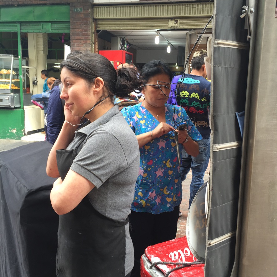
The Passage is chock a block filled with handmade goods and kitchy souvenirs… of every sort… People were friendly and we even ventured out into the forbidden Calle 10… Don’t really understand all the warnings and fear, except to say that perhaps people who live in Walnut Creek would say the same about coming to Oakland! Anyway, it was a fun walk and we bought a few things (nothing very big or to write home about).

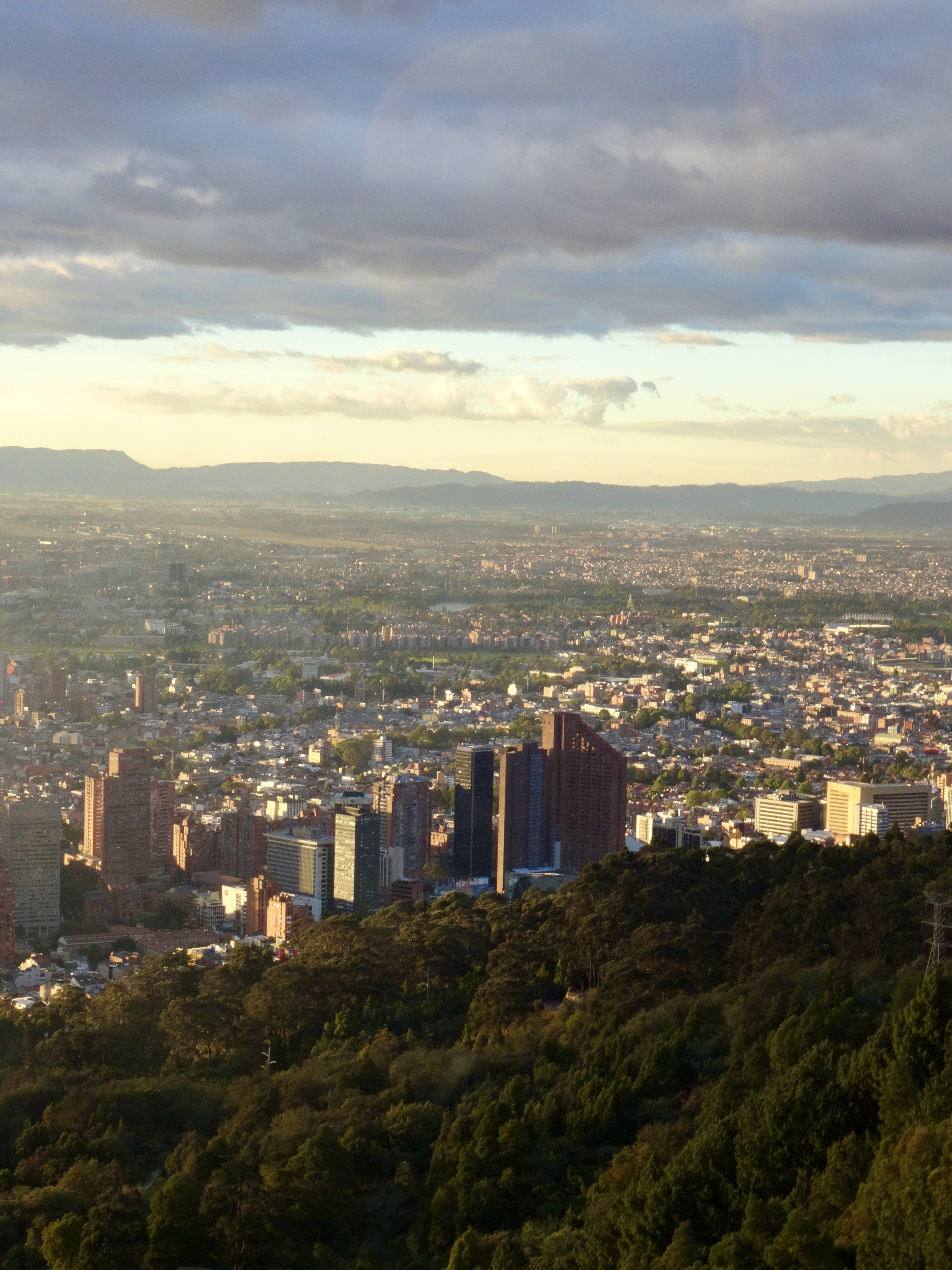
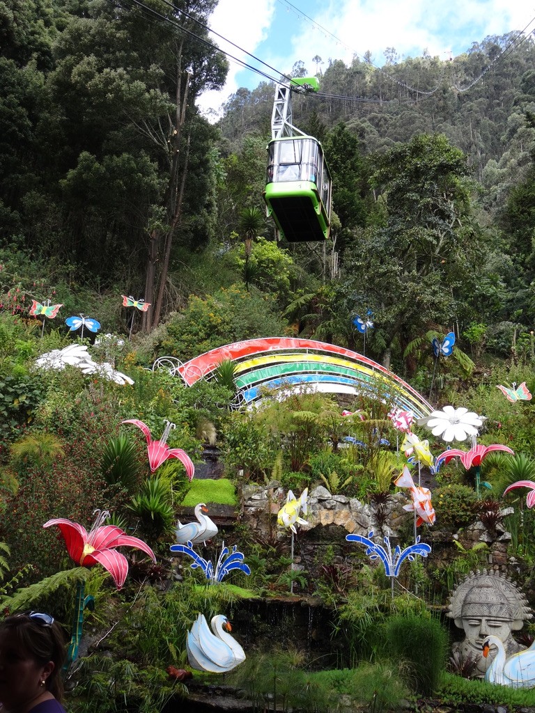
Then we headed to Monserrate (our one concession to being tourists). Monserrate is the highest point in Bogota and you can see it from everywhere.. It’s about 2,000 feet above the highest point of the city.. And Bogota is at about 8,000′ so Monserrate is at about 10,000′. The hill is a pilgrim destination (and obviously also a tourist destination).. There is an old church at the top… It’s accessed (after a taxi ride to the base which in and of itself is probably about 800′ above the city… ) by an aerial tramway (sort of a ski lift but with just two cars that hold about 40 people each.. The two cars are balanced so one is going up and the other going down). It’s also accessed by a funicular (which we had hoped to use going up and the tramway going down). We had used a lot of funiculars when we were in Chile some years ago and they are truly fun… But the funicular wasn’t functioning today, so everyone (and I mean everyone… literally crowds of mostly Colombians and some tourists from elsewhere.) had to take the cable system. You can also climb the equivalent of a 200-story building (which we opted not to do)..
I think that had we not had reservations for lunch at the top — at Casa San Isidro — we probably would have bagged the whole thing because as we looked at the line we realized it would take us about an hour to get into the cable car… But we we were already here.. so we trudged along… eventually making it into the cable car.. and up we went.. seeing Bogota from higher and higher up… and in a broader and broader context. It’s huge.. and very dense.. 4,300 people per sq. kilometer (11,200 per sq mile).
Anyway, we made it up to the restaurant at the top.. Casa San Isidro — lovely, but overpriced and OK food, not worth it… But nice to sit and sip wine and eat as we looked out and over the whole city. Coming down on the cable car the wait was another hour, so I’d say we sort of “lost the whole afternoon!”)
Finally, I’ve cracked the code to understand the street system, which is not easy because there aren’t any streets labeled (or let’s say the vast majority of streets have no signs — a lot like Panama City).. but if you have some kind of reference point it’s not too difficult.. And some residential towers have numbers on them.. So it goes like this: North and south streets are called Carreras.. perpendicular streets (east / west) are called calles. Generally there aren’t any names, just numbers.. So if a building says 52-25-45 it means it’s on Calle 52 near carrera 25 and it is 45 meters from the corner of carrera 25… Just in time to leave Bogota, I’ve got it figured out..
Hopefully this will help as we drive out of Bogota tomorrow to spend two days in the Boyaca region.. Driving? Well.. we shall see. Streets tend to be packed.. drivers stray into adjacent lanes frequently, and they drive very fast…
We’re hoping that once we leave the center it will be easy. We shall see.
Best on these waning days of 2015.. Where did the year go?
Fern
